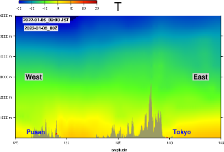
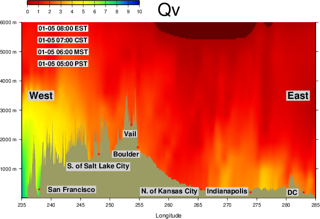
I have launched the public release of atmospheric cross-section maps generated from NCEP GFS model forecast data.
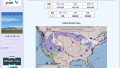
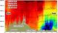
On the top pages for North America, East Asia, and Japan, you can now view forecast cross-section maps for the next 12 hours, including temperature, humidity (water vapor), and vertical velocity.
Updates are made every six hours.
The system is not yet generating the maps reliably, but we will continue tuning it throughout this month.
Going forward, I plan to analyze and introduce several notable events, including the December 2021 tornado outbreak, the 100-mph windstorm that triggered the late December 2021 Colorado wildfire, and typhoon and hurricane cases during the summer and fall of 2022.