Basic Information
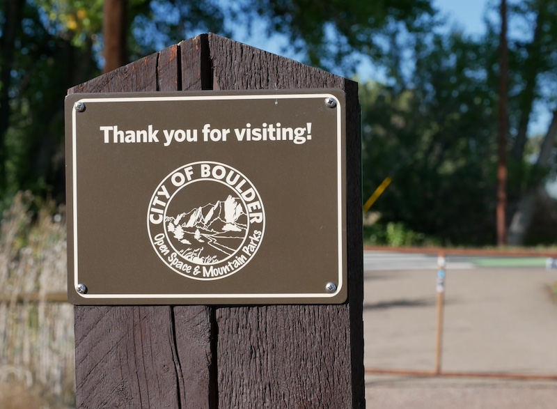
- Official Site: Cottonwood (City of Boulder)
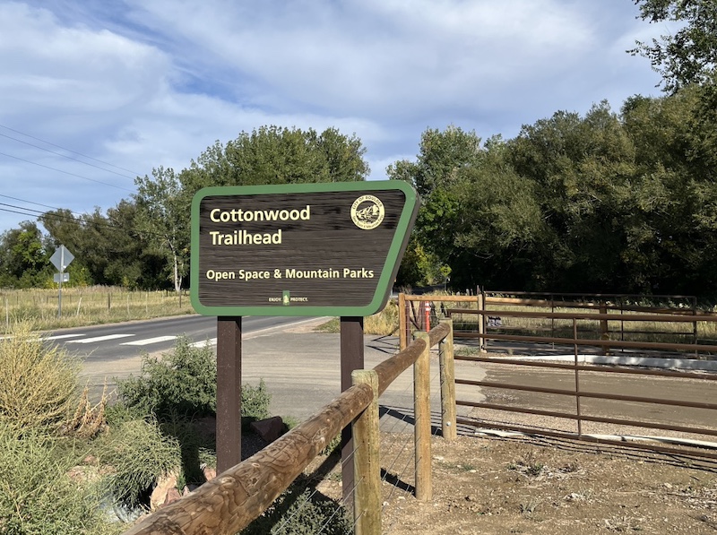
- Location: Cottonwood Trailhead
5102 Independence Rd, Boulder, CO 80301 (📍 View on Google Maps) - Official Map: OSMP Trail Map (City of Boulder)
- Trail Distance: About 1.2 miles one way / 2.4 miles round trip (Easy)
🔎 Boulder Trail Index (All Trails)
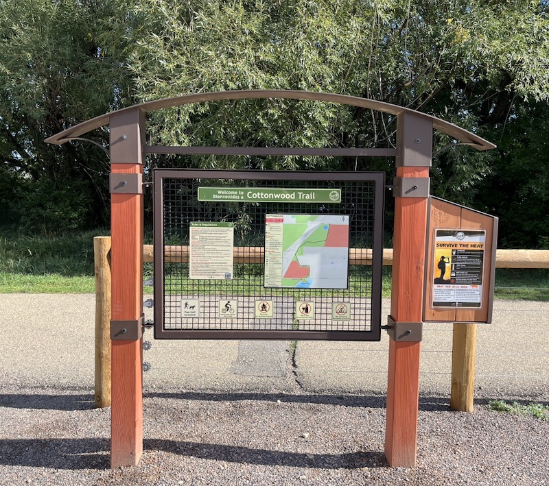
Trailhead
Parking
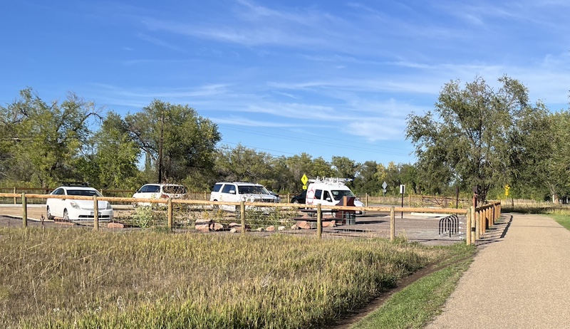
There is a parking area near the trailhead.
After parking, cross Independence Rd to reach the trail.
Trail Map
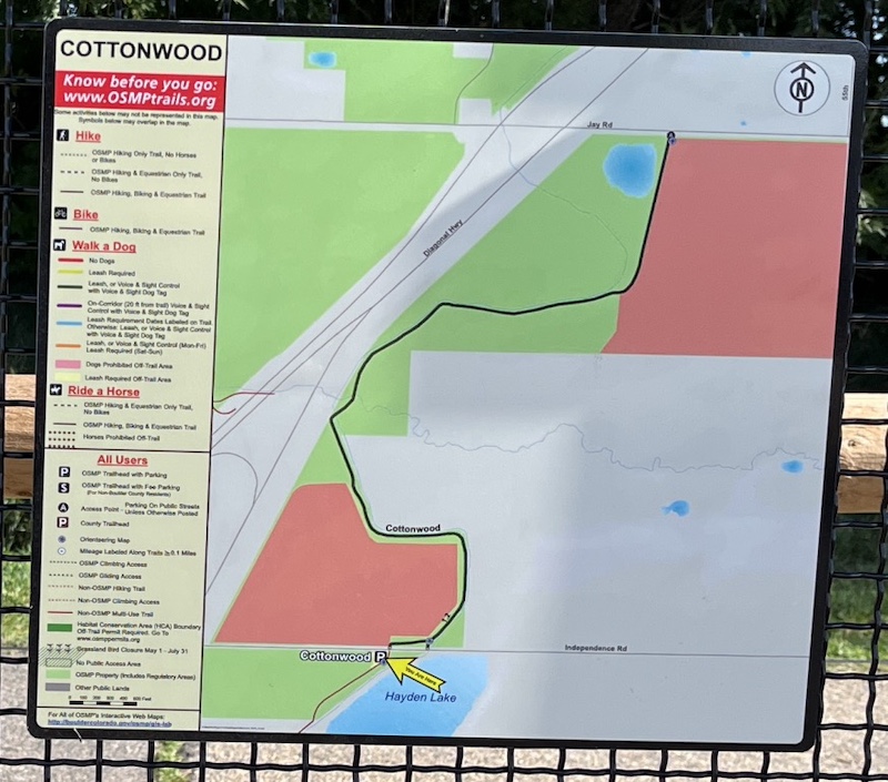
Note: The trail heading south from the sign above leads toward a general-purpose trail used for visiting UCAR.
This is a different trail from Cottonwood Trail, so it can be mistaken if you’re not familiar with the route.
Trail Description
Trail Start
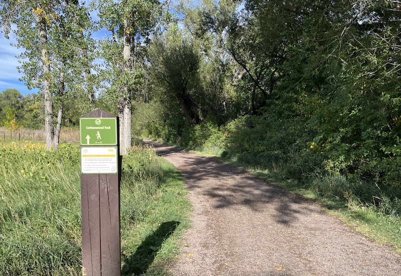
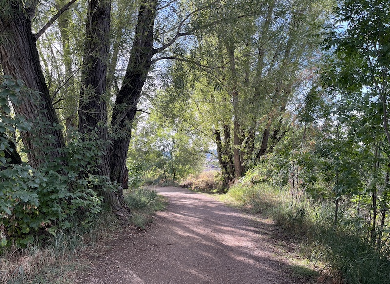
At the beginning of the trail you walk alongside large cottonwood trees.
The trail feels like walking through a tunnel formed by overhanging branches.
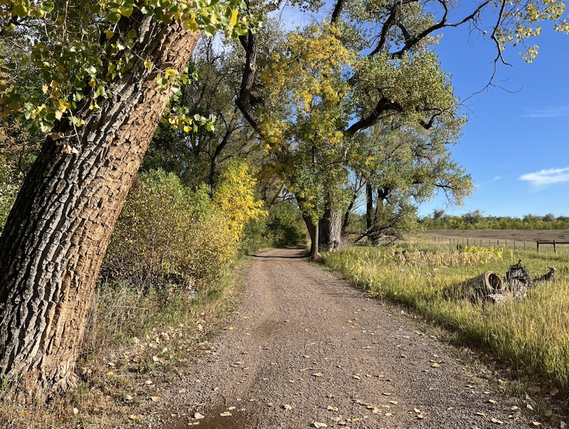
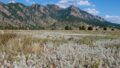
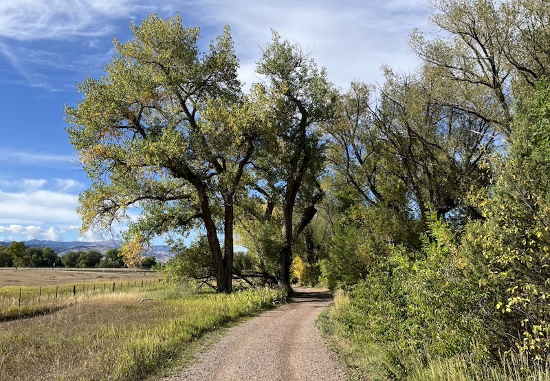
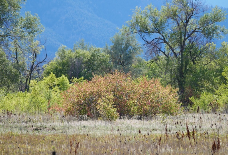
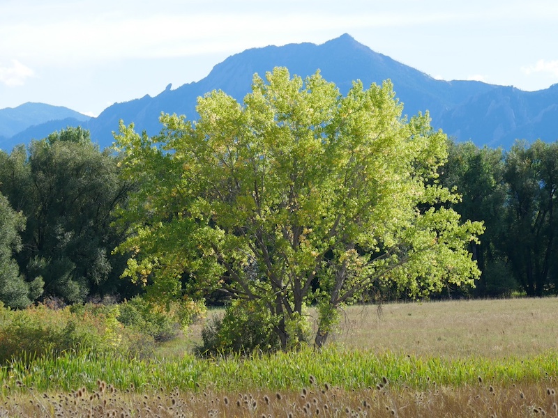
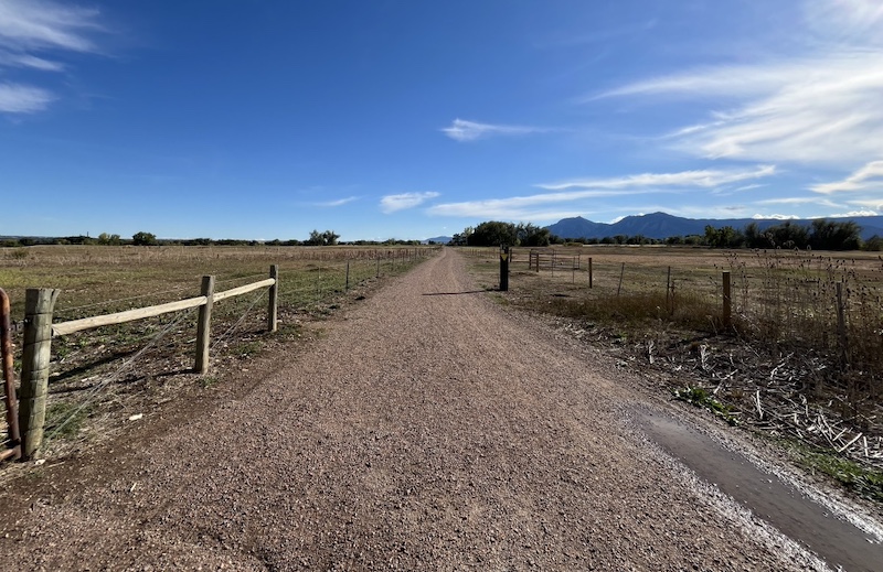
After crossing a small irrigation channel, the trail opens into a wide prairie where you can see views of the Flatirons mountains.
Trail End — Jay Road
The trail ends at Jay Road (approximately 2.4 km one way).
From here, hike back the same way you came.
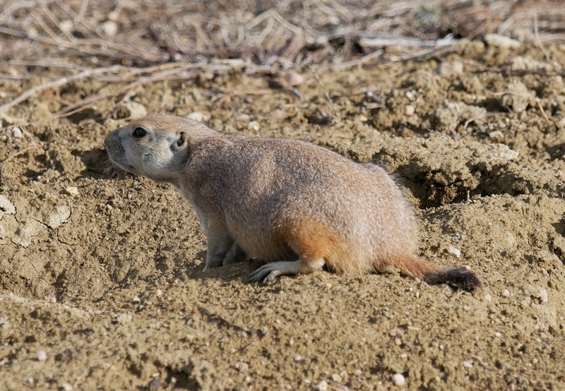
Wildlife
Around the trail end near Jay Road, you may see prairie dogs.
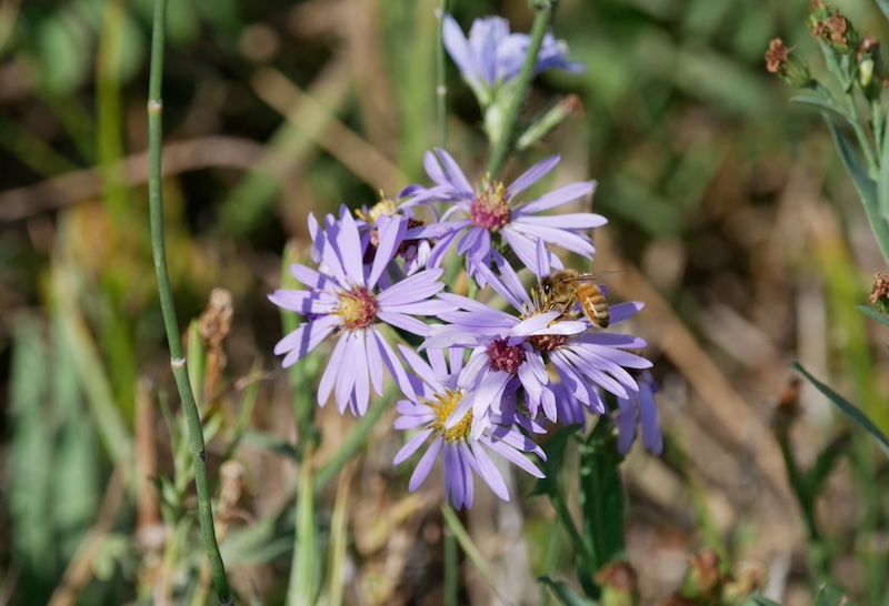
Plants
Bees and Smooth Blue Aster
Related Items
Wildflowers of Colorado Field Guide (Wildflower Identification Guides)
(Amazon USA)

→ Explore more trails: Boulder Trail Index
This page is part of a growing local trail archive maintained by the YRAIN Project.