Overview
Managing agency:
Roosevelt National Forest, U.S. Forest Service
Location:
Sugarloaf Mountain Trailhead
Sugarloaf Trail, Boulder, CO 80302
Trail distance:
Approximately 1.4 miles one way
Weather & Gear Advice
Afternoon thunderstorms are common in summer. If hiking above tree line, bring rain gear and check forecasts beforehand.
🔎 Boulder Trail Index (All Trails)
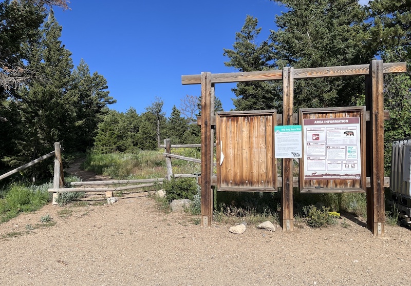
Location
Sugarloaf Mountain Trailhead
Sugarloaf Trail, Boulder, CO 80302
(📍View on Google Maps)
Sugarloaf Mountain
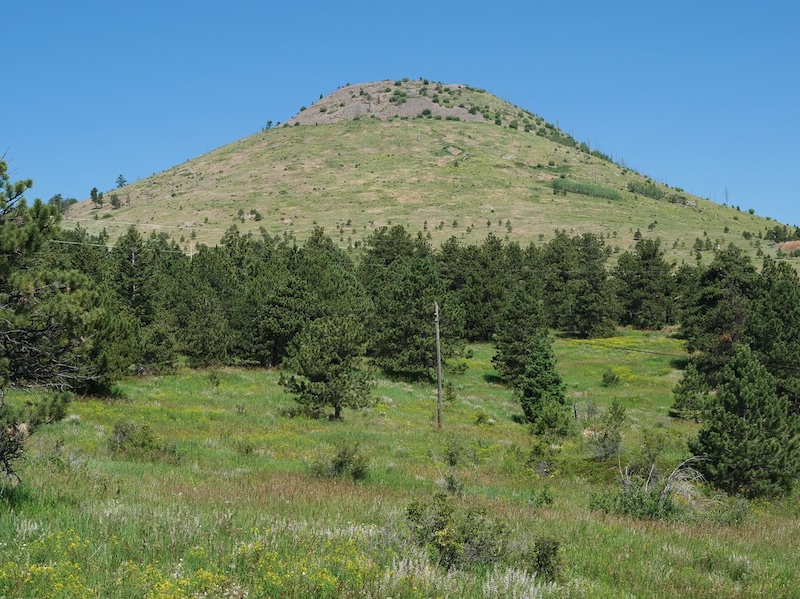
The cone-shaped mountain visible in this photo is Sugarloaf Mountain, photographed from the base of the mountain.
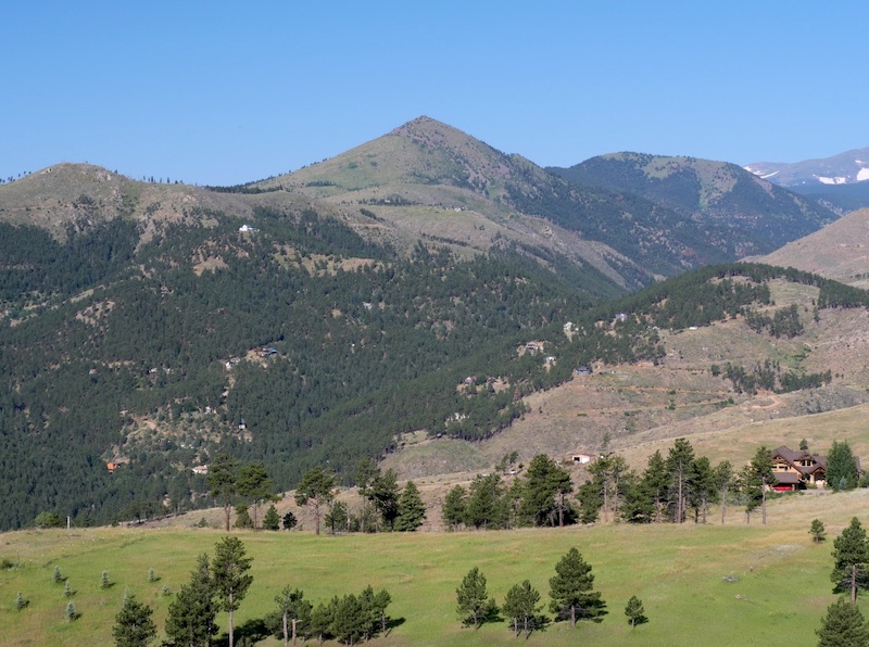
The photo below was taken from Bald Mountain, showing Sugarloaf Mountain from a distance.
This distinctive conical peak is visible from many parts of Boulder County, and when covered with snow, it closely resembles a traditional sugarloaf, which gives the mountain its name.
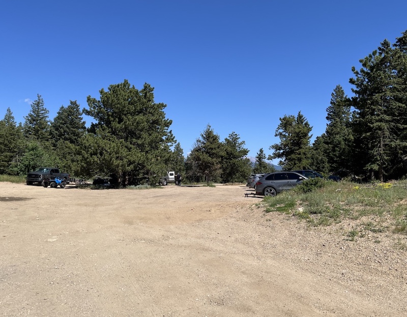
Parking
The access road leading to the parking area is unpaved (gravel), so careful driving is recommended.
The parking area itself is relatively spacious.
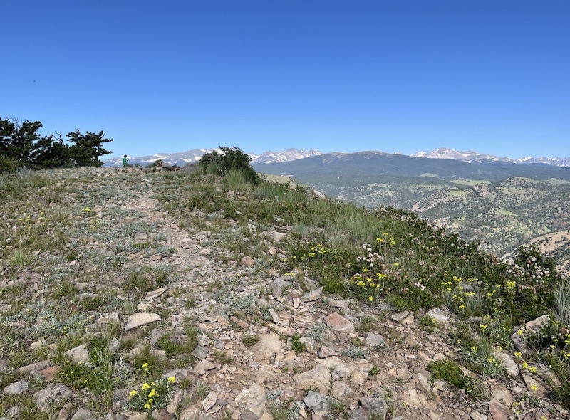
Trail Conditions
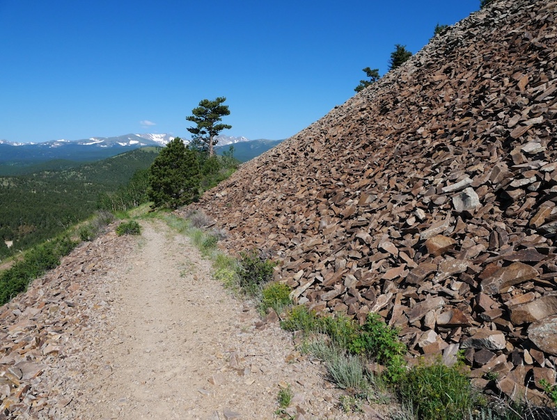
The trail is well maintained and easy to follow, with a clear route leading toward the summit.
On clear days, hikers are rewarded with beautiful views of the Indian Peaks Wilderness.
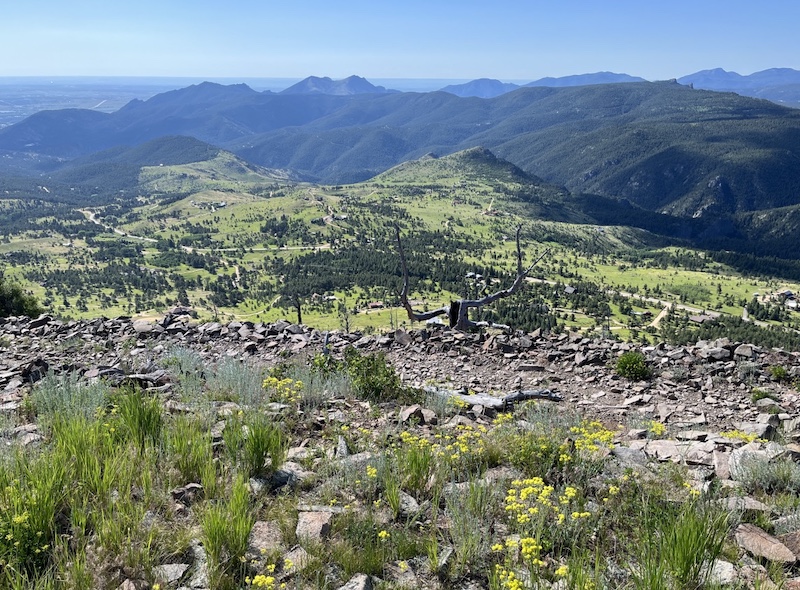
Looking down from higher elevations, you can see small settlements, rolling plains, and surrounding mountain terrain.
Near the summit, there are areas where angular, broken rocks are piled together, formed by long-term freeze–thaw weathering.
Related Book
(Amazon links: United States)
Best Region Hiking Trails
Related chapter: Hike 37 – Sugarloaf Mountain

Boulder Hiking Trails
Related chapter: Sugarloaf Mountain

BEST EASY DAY HIKES Boulder
Related chapter: 15. Sugarloaf Mountain

→ Explore more trails: Boulder Trail Index
This page is part of a growing local trail archive maintained by the YRAIN Project.