Basic Information
Official Website: South Mesa (City of Boulder Open Space & Mountain Parks)
Official Map: OSMP Trail Map (City of Boulder)
Location:
South Mesa Trailhead
3633 Eldorado Springs Dr, Boulder, CO 80303
(View on Google Maps)
🔎 Boulder Trail Index (All Trails)
Sample Loop Route
Mesa Trail (1.3 miles)
→ Big Bluestem West Trail (1.1 miles)
→ Upper Big Bluestem Trail (1.3 miles)
→ Homestead Trail
Total distance: approximately 4 miles
In addition to this example, many loop options are available, ranging from short walks to longer hikes.
Refer to the OSMP Trail Map for detailed route planning.
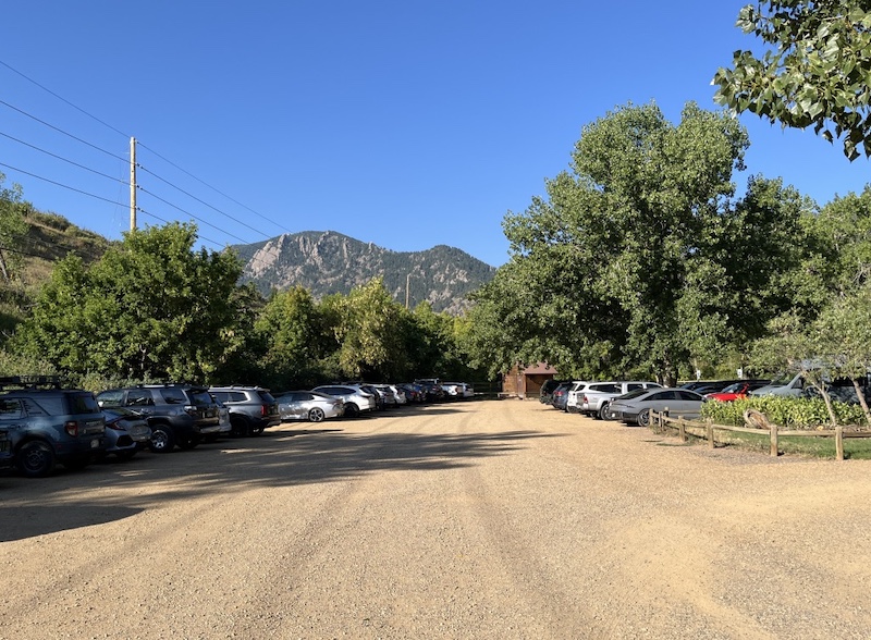
Parking
The parking lot is relatively large, but it can fill up depending on the time of day and on weekends.
During busy periods with frequent turnover, spots may open up if you wait for a short time.
If the nearby Doudy Draw Trailhead parking lot has availability, parking there and walking over is another option.
Vehicles registered with the City of Boulder may park for free
(see “OSMP Parking Permits and Fees”),
while other vehicles are subject to parking fees.
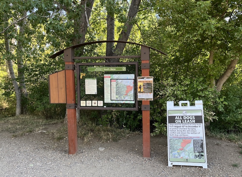
Trailhead
South Mesa Trailhead
3633 Eldorado Springs Dr, Boulder, CO 80303
(View on Google Maps)
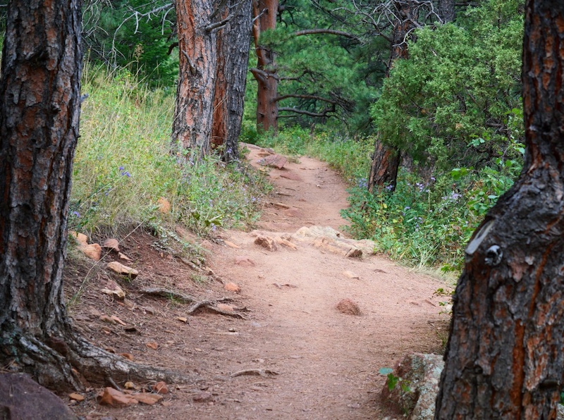
Trail Characteristics
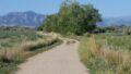
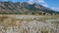
This trail area offers scenic mountain views and a wide variety of vegetation, with gentle to moderate elevation changes.
There are many route choices available. Rather than hiking out and back on the same trail, loop routes are recommended to enjoy changing scenery and landscapes throughout the hike.
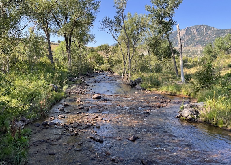
South Boulder Creek
South Boulder Creek flows just beside the trailhead.
Upstream, the creek continues toward Eldorado Canyon State Park.
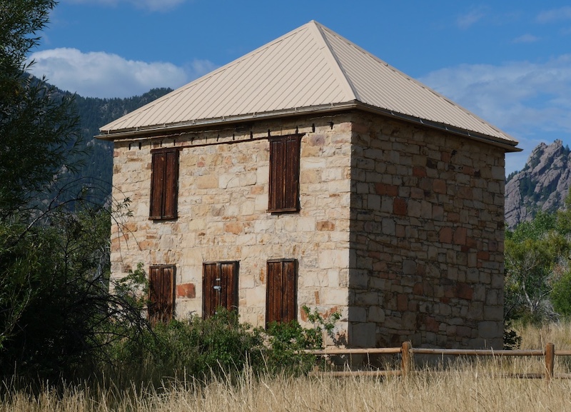
Doudy–Debacker–Dunn House
Near the South Mesa Trailhead stands the preserved Doudy–Debacker–Dunn House, originally built in the late 19th century during the pioneer era.
This historic structure reflects the agricultural and ranching history of the area.
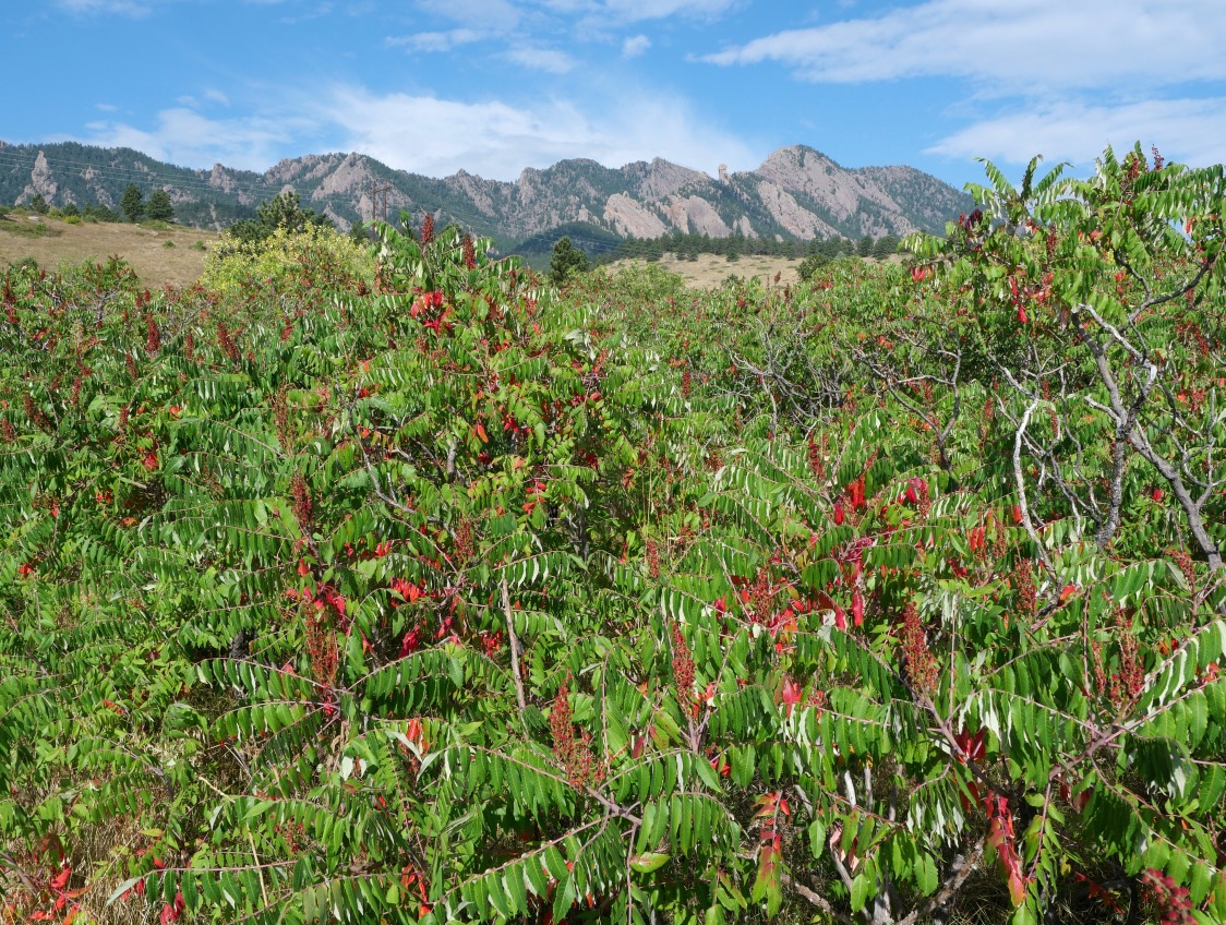
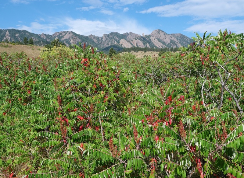
Smooth Sumac
A short walk along the Mesa Trail from the trailhead leads to an area where Smooth Sumac grows in clusters.
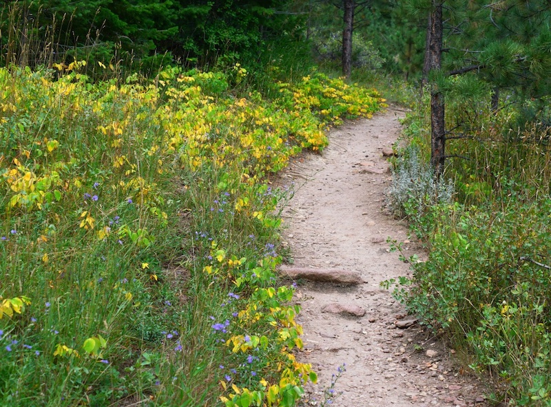
Trail Scenery
Autumn flowers in September
Leaves beginning to change color
Related Books
(Amazon: USA)
Best Boulder Region Hiking Trails
Related section: Hike 22 – South Boulder Peak

Boulder Hiking Trails
Related section: Towhee and Homestead Loop

→ Explore more trails: Boulder Trail Index
This page is part of a growing local trail archive maintained by the YRAIN Project.