Basic Information
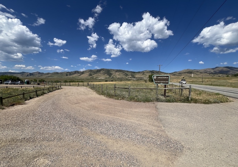
Left Hand Trailhead
7200–7598 N 39th St, Boulder, CO 80302
- Official Site: Left Hand (City of Boulder)
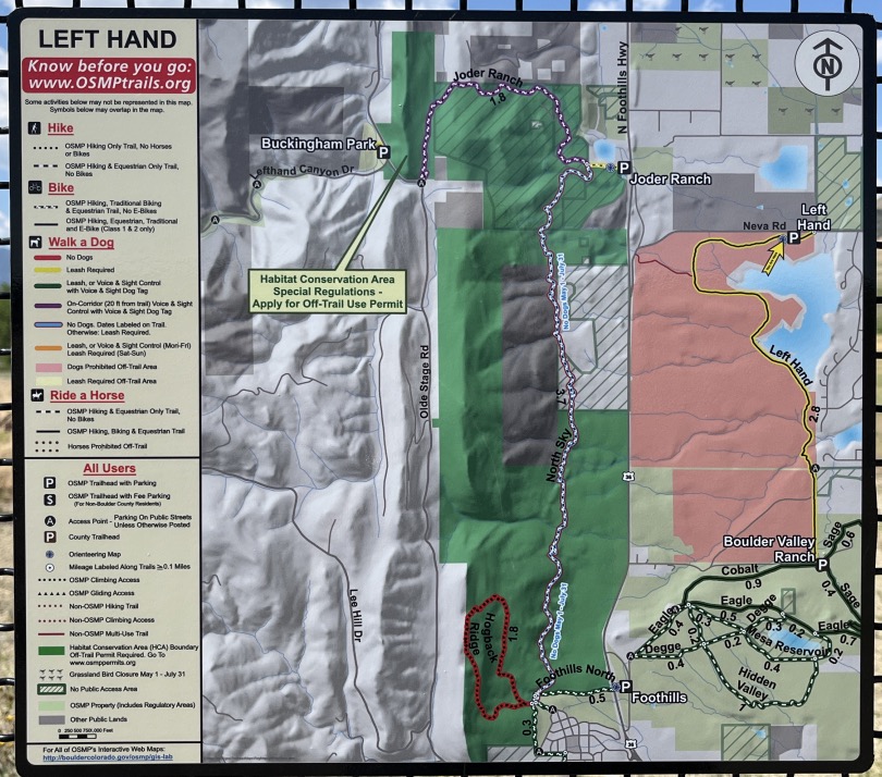
- Official Map: OSMP Trail Map (City of Boulder)
- Location: 7200–7598 N 39th St, Boulder, CO 80302
(📍 View on Google Maps) - Trail Connection: Approximately 2.8 miles one way to Boulder Valley Ranch Trailhead
🔎 Boulder Trail Index (All Trails)
Parking and Trailhead
Left Hand Trailhead
7200–7598 N 39th St, Boulder, CO 80302
The trailhead has a large parking area and is generally easy to access.
Map and Connections
This trail connects south to Boulder Valley Ranch, with a distance of about 2.8 miles.
Because of the length and terrain, it also appears well suited for mountain biking.
Trail Conditions
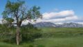
During summer, the trail can be hot and dry, so hiking in the cooler morning hours is recommended.
Plants and Wildflowers
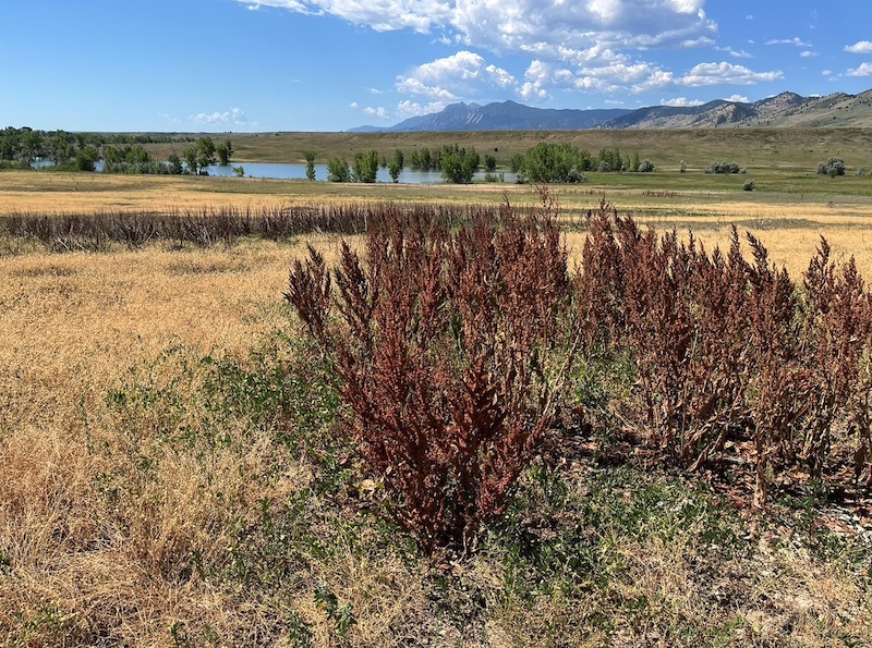
Curly Dock
Along the trail, many Curly Dock plants (Rumex crispus, Polygonaceae) were observed,
showing brown seed heads after flowering.
Related Book
[Book] The Best Urban Hikes: Boulder
Relevant chapter:
5. Boulder Valley Ranch – Choose Your Own Adventure Loops
(Available on Amazon US)

→ Explore more trails: Boulder Trail Index
This page is part of a growing local trail archive maintained by the YRAIN Project.