 Trails
 Meadowlark & Mayhoffer Singletree Trails from Oerman-Roche Trailhead (Superior, Colorado)
Overview
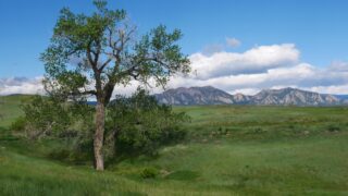
The Meadowlark Trail and Mayhoffer Singletree Trail begin at Oerman-Roche Trailhead in the town of Superior...
Trails 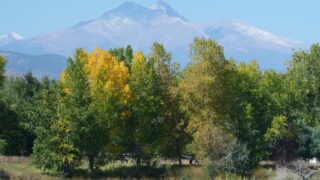 Trails
 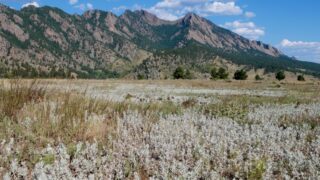 Trails
 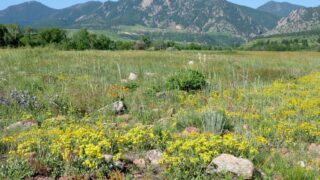 Trails
 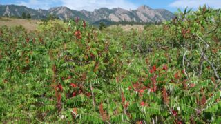 Trails
 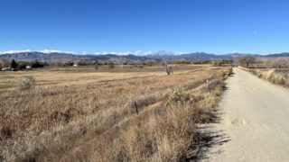 Trails
 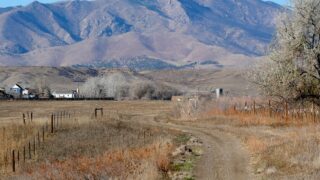 Trails
 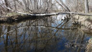 Trails
 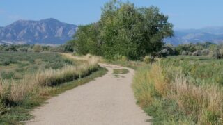 Trails
 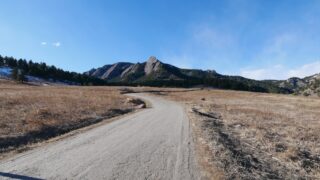 Trails