Overview
Coal Creek Trail is a scenic multi-use trail that follows Coal Creek through the plains of eastern Boulder County.
This page introduces the section starting from Aquarius Trailhead in Louisville, Colorado, a quiet and accessible entry point for walking and nature observation.
The trail offers flexible out-and-back options, making it suitable for short strolls as well as longer walks depending on direction and distance.
🔎 Boulder Trail Index (All Trails)
Location
Aquarius Trailhead, Louisville
State Highway 42 & CTC Blvd, Louisville, CO 80027(📍 Google Maps)
The trailhead is located just north of Empire Road, with direct access to Coal Creek Trail.
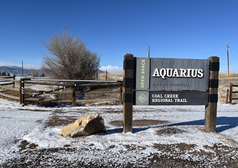
Coal Creek Trail is part of the Coal Creek Regional Trail, a soft-surface multi-use path that parallels Coal Creek through several communities in Boulder County.
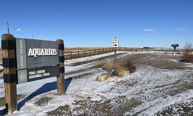
Parking
Parking is available on the north side of Empire Road.
The lot is relatively small, but it is often easy to find space, especially on weekdays or during the morning hours.
Trail Description
Heading North

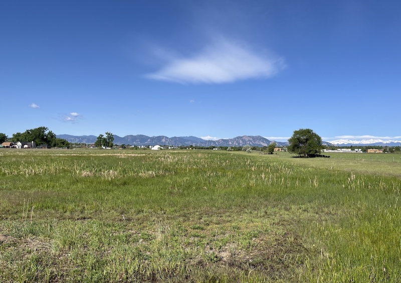
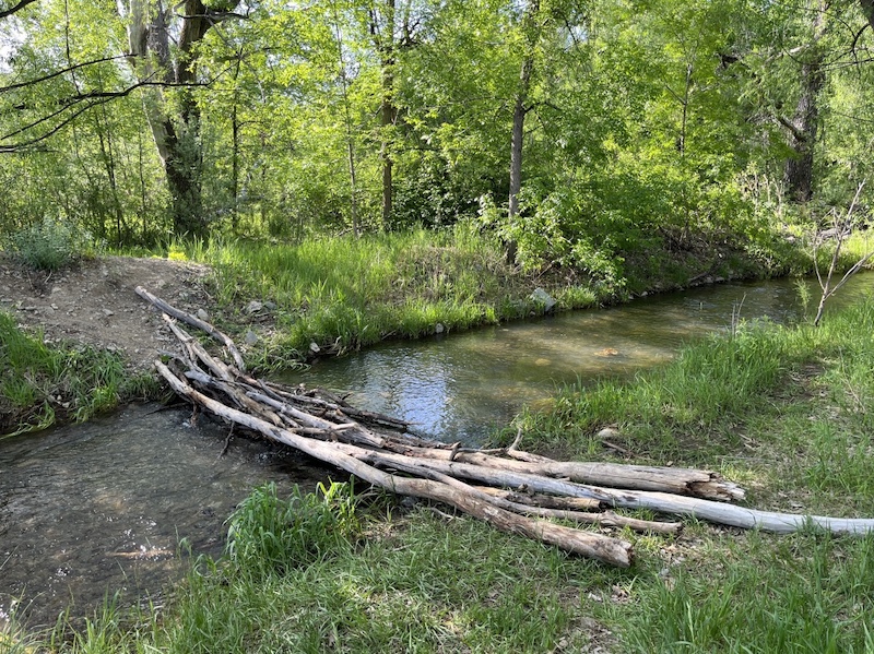
After crossing Empire Road, the trail follows Coal Creek through open plains.
This section feels wide and expansive, with long views and a strong sense of openness.
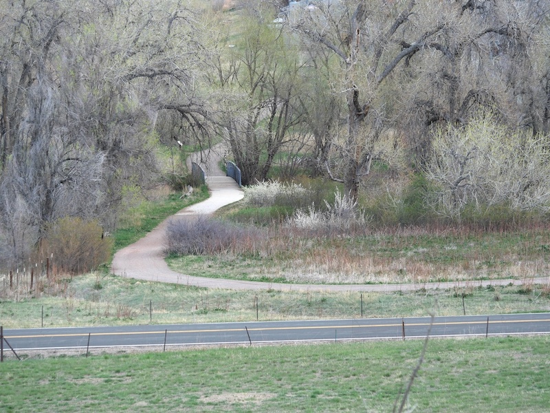
Crossing the bridge over Coal Creek reveals broad agricultural landscapes to the west, creating a peaceful contrast between water, grassland, and farmland.
Heading West
Heading west from near Empire Road, the trail continues along Coal Creek and connects to Louisville Community Park, providing access to additional paths and open space areas.
This direction is ideal for combining creek-side walking with park access.
Wildlife
Wildlife sightings are occasional but possible along this trail.

Wild turkeys can sometimes be seen in the area.
The photo below shows a small group of turkeys crossing the trail and moving toward a nearby residential area in late March.
They were only a few meters away and moved calmly without signs of distress.
In addition to turkeys, birds and small animals are often present along the creek corridor.
Notes
Coal Creek Trail as a whole extends for approximately 14 miles (22.5 km) across multiple communities, but walkers from Aquarius Trailhead can easily adjust distance by turning back at any point.
This section is especially pleasant during cooler months and in early spring, when the plains are open and quiet.
Related Book
Boulder Hiking Trails
Related chapter: Coal Creek Trail
Boulder Hiking Trails, 5th Edition: The Best of the Plains, Foothills, and Mountains
(Amazon: USA)

→ Explore more trails: Boulder Trail Index
This page is part of a growing local trail archive maintained by the YRAIN Project.