Overview
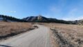
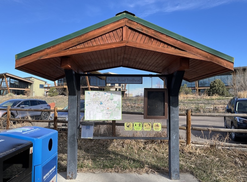
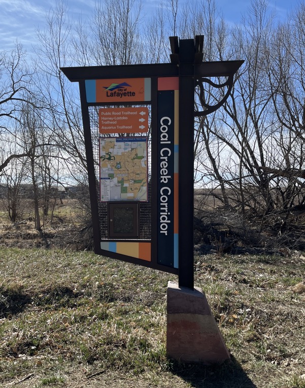
S Public Rd Trailhead is one of the access points to the Coal Creek Trail in Lafayette, Colorado.
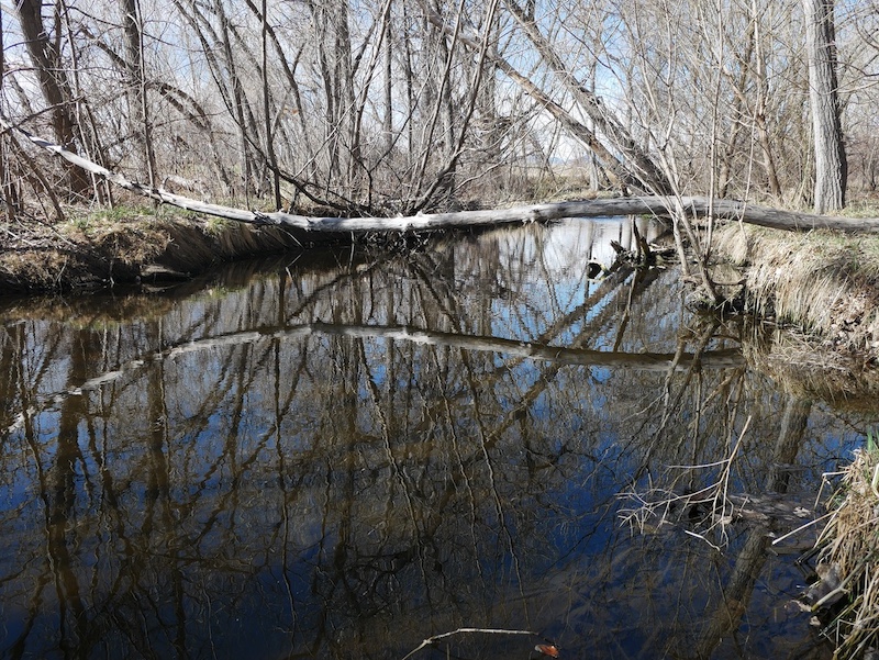
The trail follows Coal Creek in an east–west direction, forming a continuous creekside corridor through an urban and suburban landscape.
Despite its proximity to residential areas, the trail provides a quiet environment shaped by riparian vegetation and seasonal water flow.
🔎 Boulder Trail Index (All Trails)
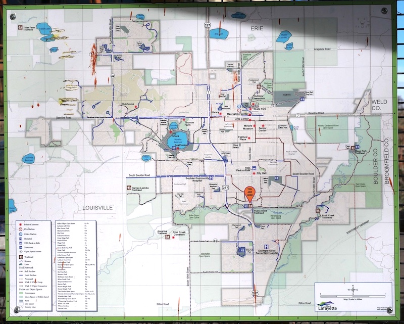
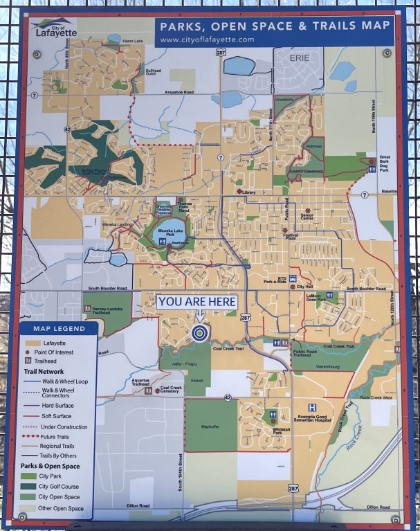
Location and Access
The trailhead is located just south of the intersection of S Public Road and Old Laramie Trail East in Lafayette.
(📍 Google Maps)
A paved parking area provides convenient access for short walks and daily use.
From this trailhead, users can travel:
- West toward Louisville
- East toward the BNSF railway corridor
Trail Characteristics
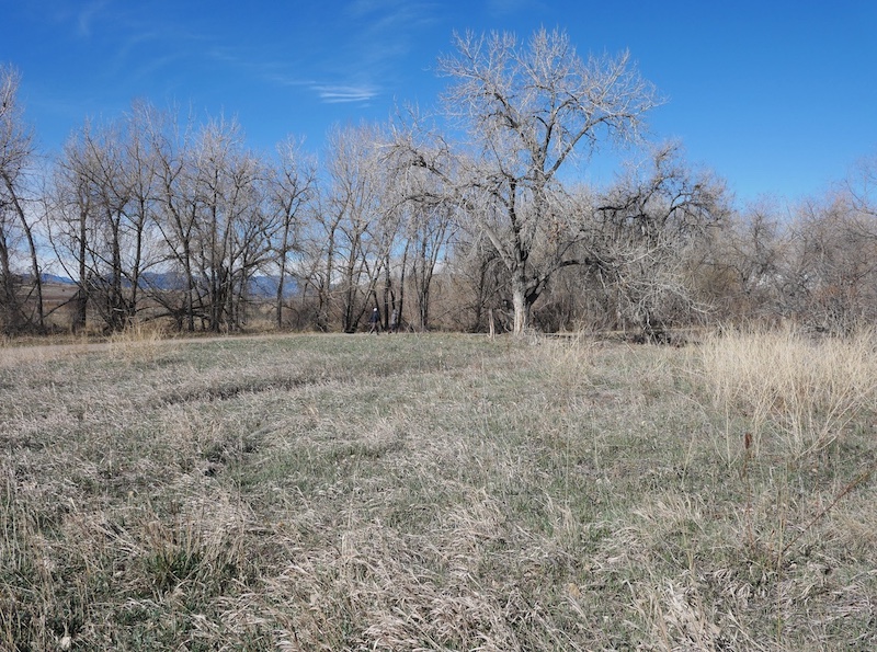
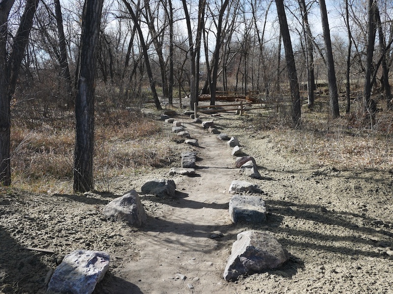
Coal Creek Trail is generally flat and well maintained, making it suitable for walking and light cycling.
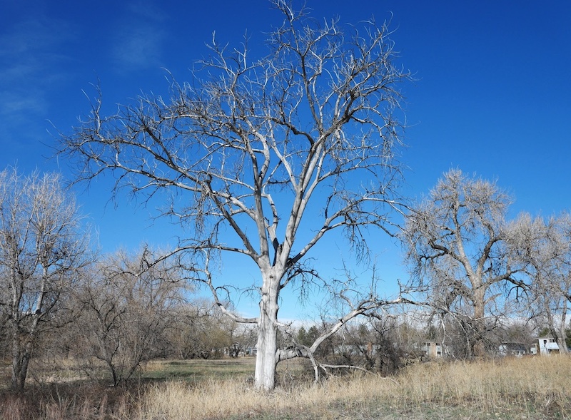
The path runs close to the creek, with tall trees lining the waterway and providing partial shade during warmer months.
The trail’s gentle gradient and open layout make it accessible year-round, depending on surface conditions.
Natural Environment
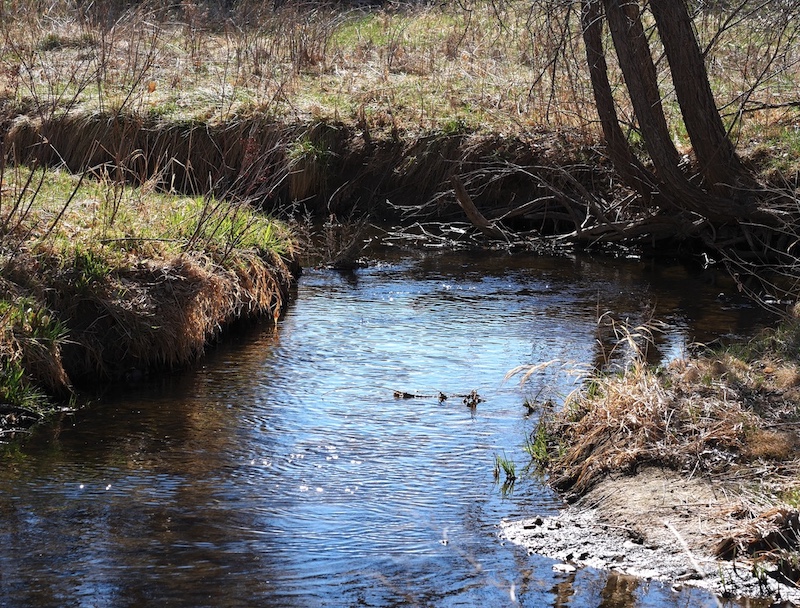
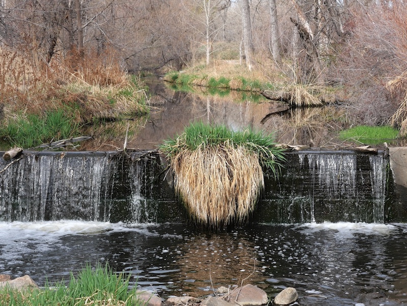
The creek corridor supports riparian vegetation that changes noticeably with the seasons.
Water levels vary throughout the year, especially during spring snowmelt and after rainfall events.
Bird activity is commonly observed along the creek, with species such as American robins frequently seen in the trees and open areas nearby.

Regional Context
Coal Creek Trail is part of a broader regional trail network connecting multiple communities in Boulder County.
From Lafayette, the trail continues toward Louisville and Superior, forming a continuous corridor that links urban centers with natural drainage systems.
This connectivity makes the trail representative of urban creekside trail design in Colorado.
Use and Distance Options
From S Public Rd Trailhead, the trail can be enjoyed as:
- A short out-and-back walk along the creek
- A longer continuous route by connecting to adjacent trail segments
Distance and route length can be adjusted easily depending on direction and destination.
Related Book
THE BEST URBAN HIKES: BOULDER
Related chapter: 12. Linking Three Cities on the Coal CreekTrail
(Amazon: USA)

→ Explore more trails: Boulder Trail Index
This page is part of a growing local trail archive maintained by the YRAIN Project.