Overview
The East Boulder Trail is a wide, flat, and scenic trail located on the eastern edge of Boulder, Colorado.
Starting from the Teller Farm North Trailhead, this trail passes through open farmland, wetlands, irrigation ditches, and wildlife habitat, making it ideal for easy hiking, walking, photography, and birdwatching.
The trail is managed by the City of Boulder Open Space and Mountain Parks (OSMP) and connects several important trailheads in East Boulder.
🔎 Boulder Trail Index (All Trails)
Location & Access
Teller Farm North / White Rocks Trailhead
4705 95th St, Boulder, Colorado
Trail Connections
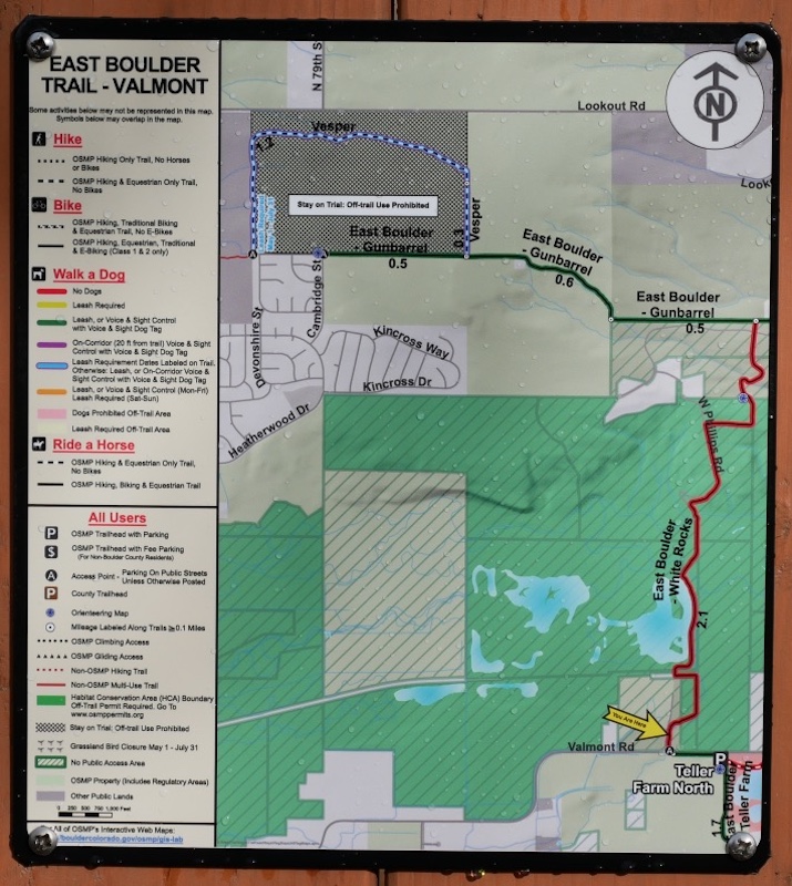
From the Teller Farm North area:
- Walking south connects to Teller Farm South Trailhead
- Walking north or east leads toward White Rocks Trailhead
This makes the East Boulder Trail a convenient connector route between multiple OSMP open space areas.
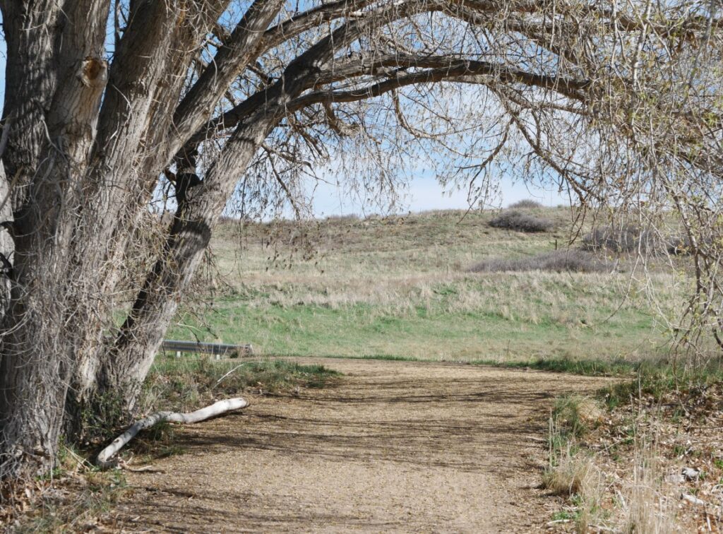
Trail Conditions & Landscape
The trail is mostly flat and well-maintained, suitable for all skill levels.
Surroundings include:
- Open agricultural land
- Seasonal wetlands
- Cottonwood trees
- Irrigation ditches and reservoirs
The wide trail corridor also makes it comfortable during busier seasons.
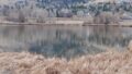
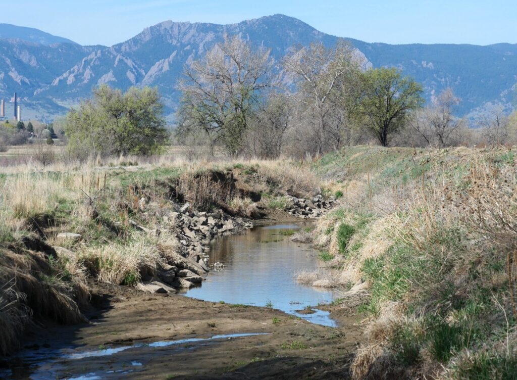
ERTL II Pond No. 9 (Wetland Area)
Along the western side of the trail, there is a large wetland known as ERTL II Pond No. 9.
The pond is named after nearby Ertl Farms, which operate several reservoirs in the area.
“Pond No. 9” likely indicates its order among multiple managed water bodies.
This wetland is an excellent spot for observing wildlife throughout the year.
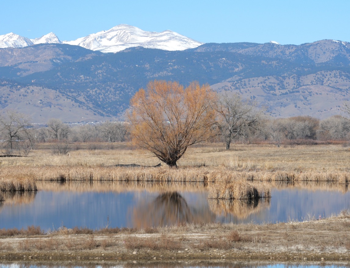
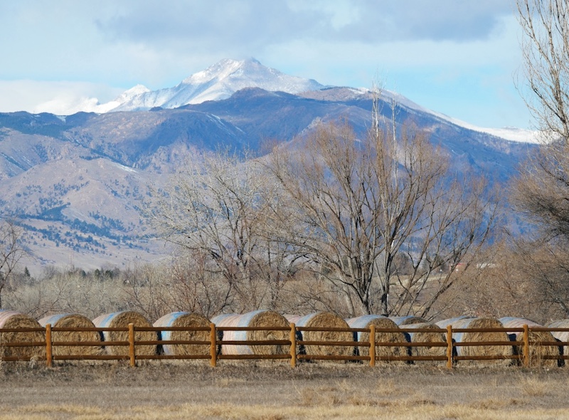
Mountain View from the Wetland

From the wetland area, Mount Audubon can be seen on clear days, rising beyond the open plains and adding a striking alpine backdrop to the landscape.
Wildlife Highlights
Common Carp

Large fish frequently seen splashing near the surface are Common Carp, especially active in mid-May.
Some individuals appear to exceed 50 cm (20 inches) in length.
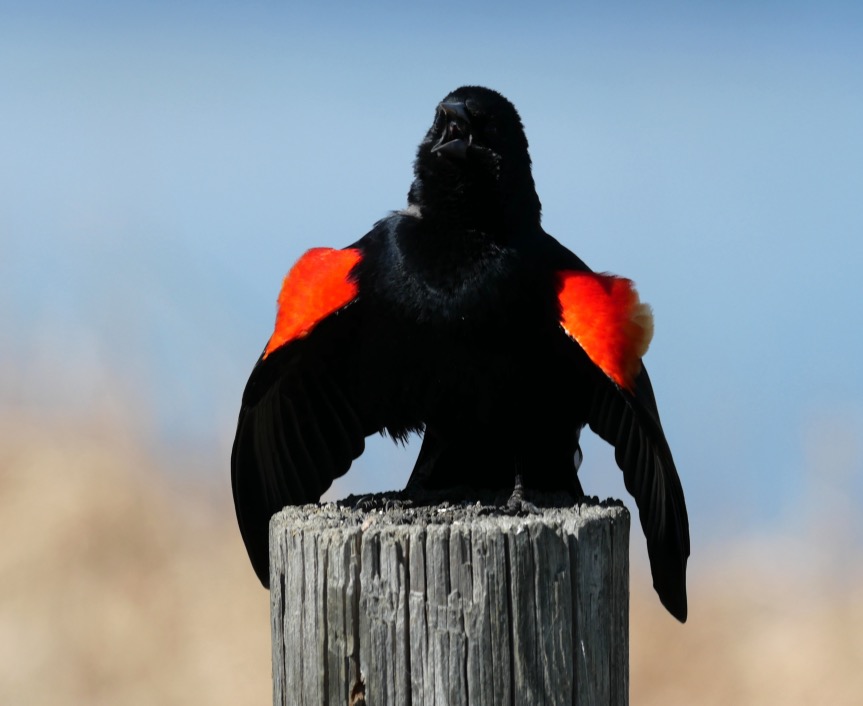
Birds
The wetlands and nearby trees attract many bird species.
One commonly observed species is the Red-winged Blackbird, often seen and heard during spring.
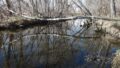
Irrigation & Farmland Features
Leggett Ditch
The trail crosses Leggett Ditch, an irrigation channel that reflects the area’s long agricultural history.
Plains Cottonwood Trees
Large Plains Cottonwood trees line portions of the trail, providing shade and strong visual contrast against the open fields.
Recommended Hiking Guide
Best Boulder Region Hiking Trails
Related section: Hike 18 – East Boulder Trail to Teller Lake
(Amazon links: United States)

Summary
The East Boulder Trail at Teller Farm North offers:
- Easy, flat terrain
- Expansive farmland views
- Wetlands rich in wildlife
- Seasonal photographic opportunities
- Convenient connections to other East Boulder trailheads
It is a calm and rewarding trail for visitors looking to experience Boulder’s open space landscape beyond the foothills.
→ Explore more trails: Boulder Trail Index
This page is part of a growing local trail archive maintained by the YRAIN Project.