Basic Information
- Official Site: East Boulder – White Rocks, City of Boulder (OSMP)
- Location: 4705 95th St, Boulder, Colorado
- Official Map: OSMP Trail Map, City of Boulder
🔎 Boulder Trail Index (All Trails)
Location
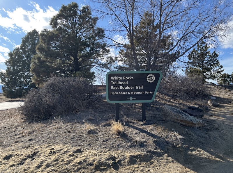
- White Rocks Trailhead
4705 95th St, Boulder, Colorado
Trailhead
The parking lot is relatively small.
If the lot is full, some people park along the roadside where there are no posted “No Parking” signs.
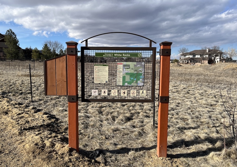
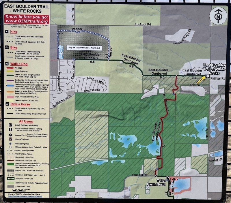
Trail Map
This trail connects directly to Teller Farm North, allowing for longer walks and loop options.
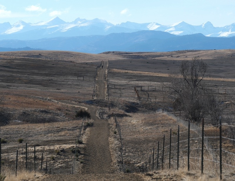
Trail Conditions
Much of the trail is straight with gentle elevation changes.
Overall, it is an easy and comfortable trail, suitable for casual walking and relaxed hikes.
Scenery
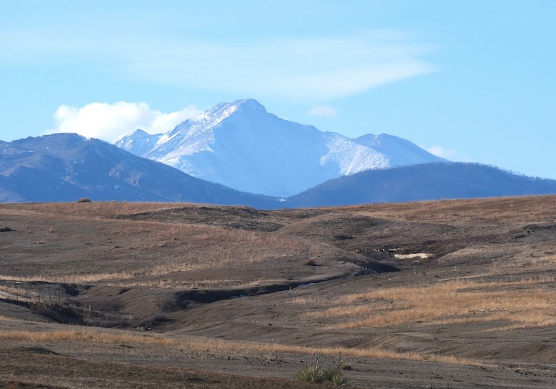
Longs Peak
From higher sections of the trail, you can enjoy wide views of the Rocky Mountains, stretching north to south.
The photo shows Longs Peak (4,346 m / 14,259 ft), one of Colorado’s famous “fourteeners.”
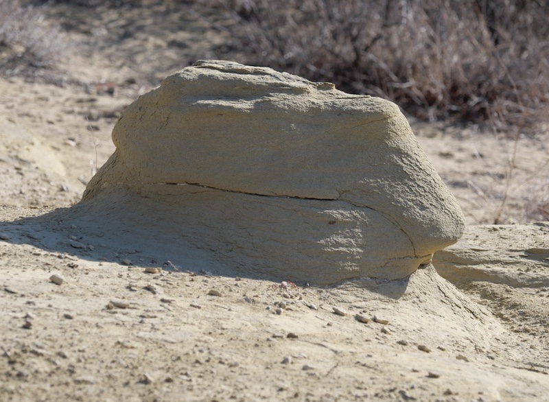
White Rocks
The “White Rocks” that give this trail its name likely refer to the light-colored rock formations seen along the trail.
They appear to be composed of soft, mud-derived sedimentary rock, possibly mudstone.
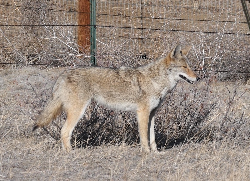
Wildlife
Coyote
A coyote spotted near residential areas along the trail.
They resemble wolves in appearance and should be observed from a safe distance.
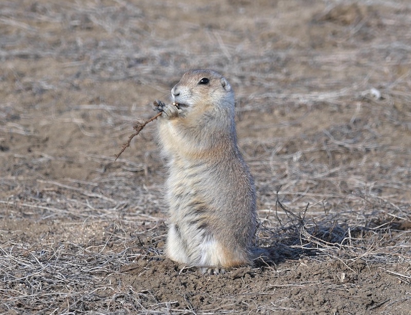
Prairie Dogs
Prairie dogs are commonly seen along this trail, and you are very likely to encounter them somewhere during your walk.
Activities
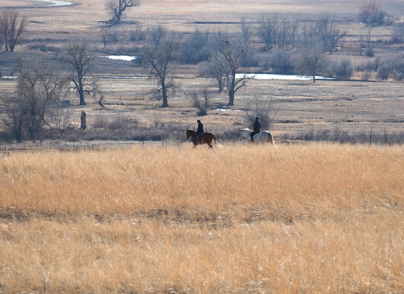
Horseback Riding
Because the trail is relatively straight and gently graded, it is also used by horseback riding groups, in addition to hikers.
Related Book
- Best Boulder Region Hiking Trails
Related section: Hike 18 – East Boulder Trail to Teller Lake
(Amazon: United States)

→ Explore more trails: Boulder Trail Index
This page is part of a growing local trail archive maintained by the YRAIN Project.