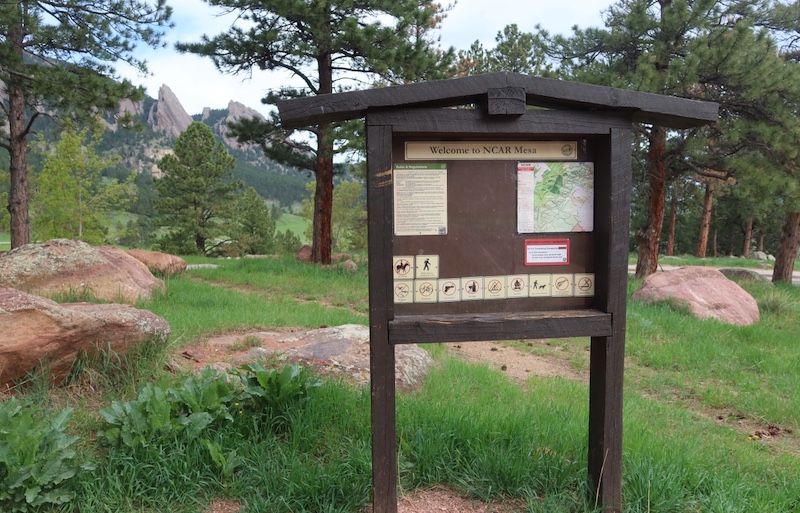
NCAR Trailhead Overview
The NCAR Trailhead provides access to several well-maintained foothills trails on the southwest edge of Boulder, including the Walter Orr Roberts Weather Trail and connections to the Mesa Trail.
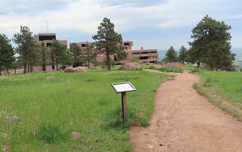
The trailhead is located adjacent to the National Center for Atmospheric Research (NCAR), a major atmospheric and climate research institution.
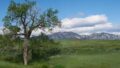
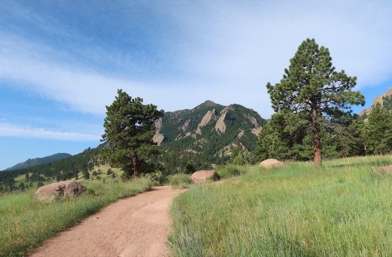
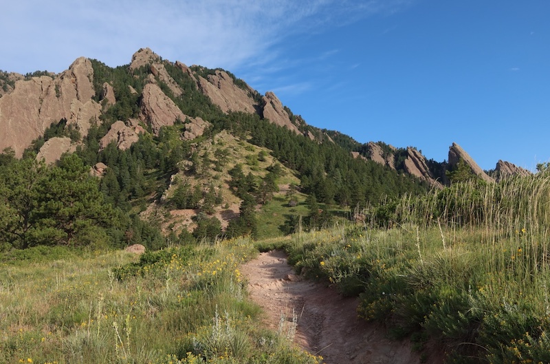
This area offers open views of the Flatirons, short and accessible walking loops, and a diverse mix of grassland and shrubland ecosystems typical of Boulder’s Front Range foothills.
🔎 Boulder Trail Index (All Trails)
Location and Access
- Official Site: National Center for Atmospheric Research / City of Boulder
- Official Map: OSMP Trail Map, City of Boulder
- Address: 1850 Table Mesa Dr, Boulder, CO 80305
(📍 Link to Google Maps)
NCAR offers a large free parking lot, making this one of the most convenient trailheads in the area. Visitors may also take time to explore the NCAR campus and visitor spaces when open.
The Walter Orr Roberts Weather Trail itself is a short out-and-back, about 0.9 miles (≈1.5 km), making it ideal for a brief walk. Connecting to the Mesa Trail can extend your hike significantly.
The Mesa Trail runs broadly along Boulder’s foothills; from the NCAR Trailhead it can be accessed for longer hikes north or south.
Note: actual distance depends on route variation.
Trail Conditions and Scenery
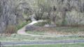
The trails are generally well graded and easy to follow, suitable for casual hikes and short walks.
From the Weather Trail, hikers can enjoy clear views of the Flatirons and the surrounding foothills, with gentle elevation changes and wide paths.
The Mesa Trail connection allows longer north–south travel along the foothills for those seeking extended hikes.
This area is typical foothills habitat — be aware of small mammals and birds, and follow posted OSMP guidance for wildlife interactions.
Wildflowers and Native Plants
Late spring and early summer are particularly rewarding seasons on this trail.
Commonly observed plants include:
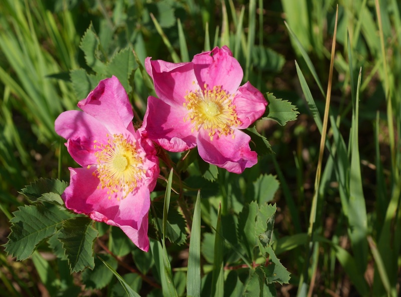
- Woods’ Rose (Rosa woodsii), producing pink blossoms in early summer
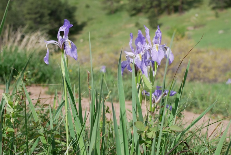
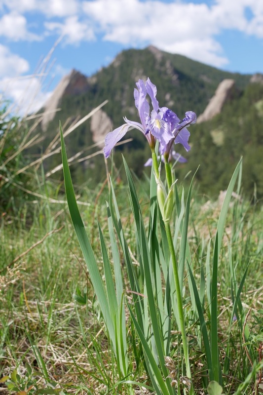
- Rocky Mountain Iris, often forming small clusters in May
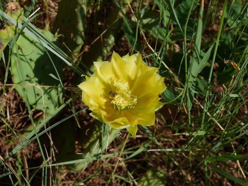
- Prickly pear cactus, adapted to dry, sunny slopes
- Yucca, a characteristic foothills plant found throughout Boulder County
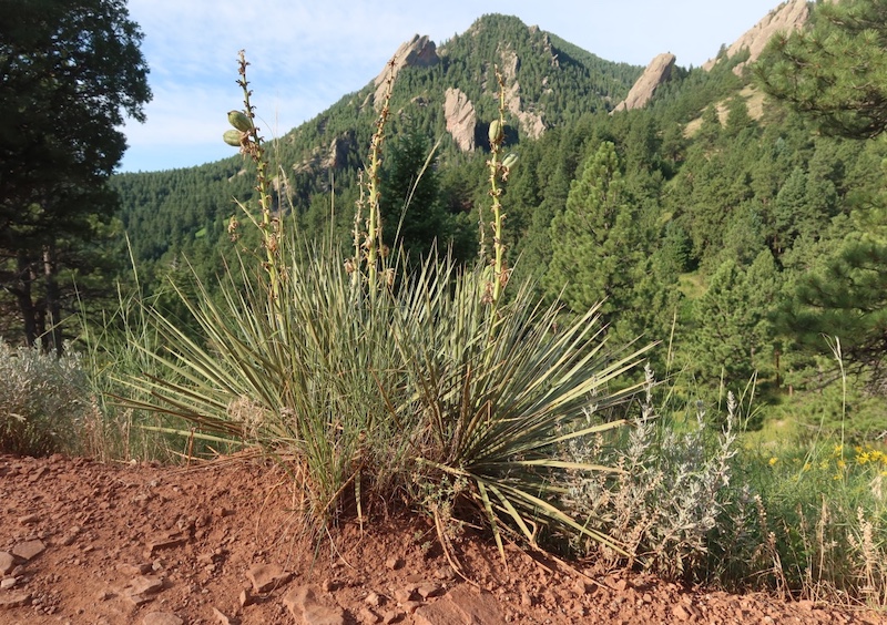
These species highlight the transition zone between plains grasslands and montane environments.
Seasonal Notes
- Best season: May through early July for wildflowers
- Winter: Trails may be icy or muddy after snow
- Wildlife: This is active foothills habitat; visitors should remain aware of local wildlife and follow posted guidance
Related Trails
- Mesa Trail (north–south foothills route)
- South Boulder Creek West Trail (another location where Rocky Mountain Iris is commonly observed)
Related books
(Amazon US)
- Boulder Hiking Trails — Walter Orr Roberts Nature Trail

- The Best Urban Hikes: Boulder — 9. NCAR to Woods Quarry Out and Back

- The Best Urban Hikes: Boulder — 5. Walter Orr Roberts Weather Trail

→ Explore more trails: Boulder Trail Index
This page is part of a growing local trail archive maintained by the YRAIN Project.