Basic Information
- Official site: Bald Mountain Scenic Area (Boulder County)
- Trailhead:
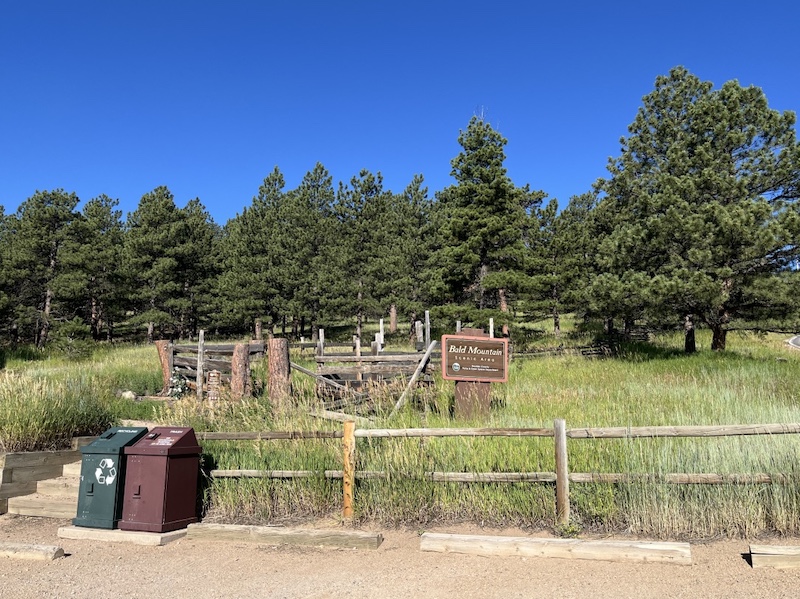
Bald Mountain (Pines to Peaks Loop) Trailhead
4100–4300 Sunshine Canyon Dr, Boulder, Colorado - Official map: Bald Mountain Scenic Area Trail Map (PDF, Boulder County)
- Trail length: Approximately 1-mile loop
- Difficulty: Easy
🔎 Boulder Trail Index (All Trails)
Location
Bald Mountain (Pines to Peaks Loop) Trailhead
4100–4300 Sunshine Canyon Dr, Boulder, CO
Parking and Access
From downtown Boulder, drive west on Mapleton Avenue.
As the road climbs into the foothills, the name changes to Sunshine Canyon Drive.
Continue along Sunshine Canyon Drive, and you will find the parking area on the left (south) side of the road.
Trail Map and Route
The Pines to Peaks Loop is a compact loop trail of about one mile, passing over the summit of Bald Mountain before returning to the trailhead.
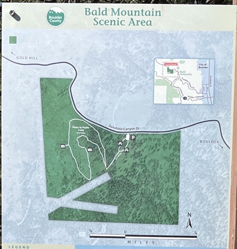
Pines to Peaks Loop Trail
The trail begins in a forest dominated by Ponderosa Pine, a pine species commonly found in Colorado and across western North America.

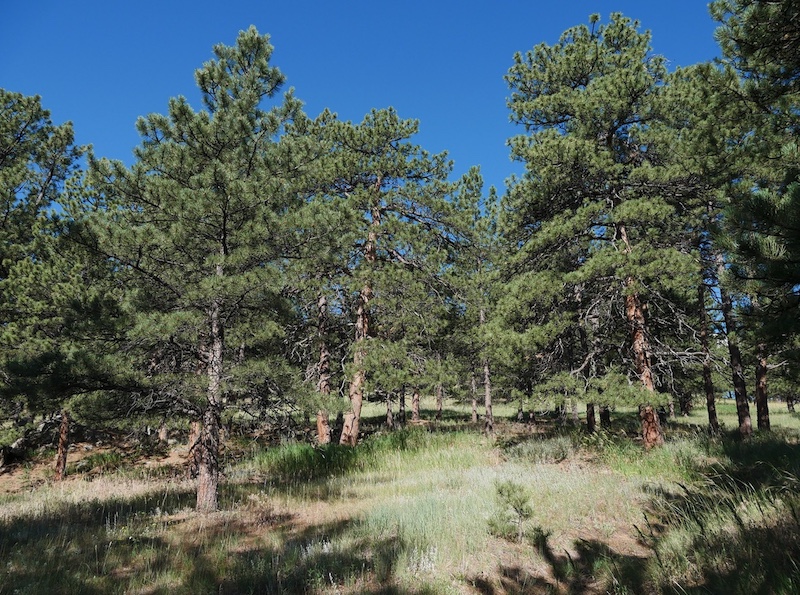
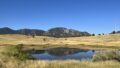
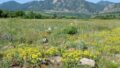
As you continue higher, the forest gradually opens. Bluestem grasses line both sides of the trail, and near the summit the landscape transitions into open grassland.
Bald Mountain Summit
- Elevation: 7,160 feet (2,182 meters)
- The summit feels more like a gentle hilltop than a rugged peak, making it an accessible and rewarding destination even for casual hikers.

Recommended Guidebook
Best Easy Day Hikes: Boulder
Related chapter: 16. Pines to Peaks Loop (Bald Mountain Scenic Area)
Best Easy Day Hikes Boulder (English Edition)
(Amazon: USA)

→ Explore more trails: Boulder Trail Index
This page is part of a growing local trail archive maintained by the YRAIN Project.