 Trails
 Doudy Draw Trailhead, Boulder, Colorado
Basic Information
Official Site: Doudy Draw (City of Boulder Open Space & Mountain Parks)Official Map: OSMP Trai...
Trails 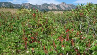 Trails
 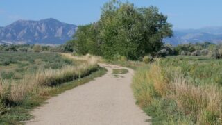 Trails
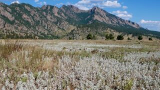
 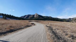 Trails
 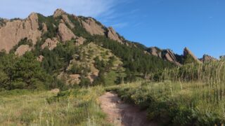 Trails
 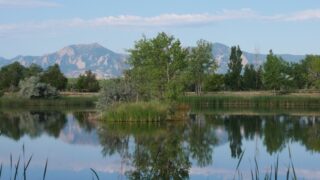 Trails
 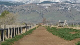 Trails
 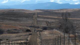 Trails
  Trails
  Trails